Five years ago, when military pilots used the flight simulation software of Silicon Graphics Inc., Mountain View, Calif., to practice their flying skills, fog was always displayed outside the cockpit window alongside the flight path of their virtual jets. The haze was necessary, because even the fastest processors of the day weren't able to render details of the passing scenery, said Lang Craighill, senior director of federal operations for SGI Federal.These days, both processing and memory have improved such that, not only can detailed views of the scenery be rendered realistically, but SGI software allows a pilot to run through the flight path of an upcoming mission, displaying details such as the location of enemy troops and potential targets.Improvements in hardware do more than give software the power it needs to make more realistic simulations. They also facilitate new tools that make information far more understandable. Companies are drawing upon a practice called geocoding, assigning geographical coordinates to database information, to visually render that information in maps that are easier to read and analyze."Most business processes involve some locational aspects," said David Sonnen, a Geographic Information Systems analyst with International Data Corp. of Framingham, Mass. The trend in the geospatial industry is building systems that "address the guy in the field," he said.For the government, this trend has two approaches. Companies such as SGI Federal are offering large geospatial systems, such as its up-to-128 processor video acquisition and exploitation system, that serve up evermore gigantic databases of geospatial information for uses of realistic flight simulation and defense intelligence systems. In addition, companies such as Questerra Corp., Charlottesville, Va., are also using Web-based tools to make geospatial information available to larger numbers of workers. SGI is finding that geocoding data can "create an opportunity to develop a series of battlespace visualization capabilities for decision support," said John Burwell, senior director of government industry for SGI Federal.In addition to mission-customizable flight simulation software, SGI has systems that can match aerial satellite photographs with intelligence data and can model chemical or biological attacks in a given area.Geocoding allows users to see activity they might not notice just looking over text-based database records, said Jared Wayman of Questerra. In March, Questerra released a Web-based spatial information management solution that the company plans to market for a homeland security system.For example, such a system can be used to map outbreaks of disease according to statistics submitted by area hospitals, Wayman said. It would allow responders to quickly view the range of an outbreak by showing a map with dots pinpointing the location of cases. Because it is Web-based, the system can be shared across a wide variety of platforms and accessed simultaneously by a large numbers of users. What is unique about Questerra, said Sonnen, is that it offers a GIS system as a Web service."Having someone else do the geospatial work and renting you the capability makes a lot of business sense. You don't need the specialized personnel," Sonnen said.Back-end systems can easily interface with Questerra's system through simple Web protocols. The company also offers the solution as a stand-alone software for agencies that want to keep information in-house, Wayman said.Washington has also developed a Web-based geographical information system, called DC Atlas, that it hopes will have wider use than most city GIS systems."Virtually every city in America has an enterprise GIS, but the average government employee isn't able to use that GIS. Usually, it is the province of techies and GIS specialists," said Adam Rubinson, senior director for special projects at Washington's Office of the Chief Technology Officer. "What is unique about DC Atlas is that it puts all that data at the fingertips of employees. With only one day of training, they'll be able to integrate all this great information into their day-to-day work."Information in the city's databases about everything from building permits to water lines is being geocoded, so that a city employee, using a Web browser, can obtain that information by tapping on a particular street in a map, Rubinson said."Almost all data that a municipality created in some way can be linked to a location. And since human beings are spatially oriented by nature, employees will be able to better plan, research, analyze and deploy resources," he said.The costs of DC Atlas, which went live for employees in June, were about $1 million, Rubinson said. The system, developed in-house, runs on 11 servers.The city hopes to use the system as the basis for building other services. "If the District Department of Transportation wanted to do street repairs in this area, a worker could just circle the area on the map and the system would print out a list of all the addresses in that area," Rubinson said.Initially, the DC Atlas will be available to all 35,000 city workers, though only those with access to desktop computers will be able to tap into it, according to Rubinson. Over the next three years, the city will roll out the service to both field workers and citizens. Mobile data terminals are being placed in police cars, ambulances and eventually in snow plows, fire vehicles, tow trucks and other city vehicles. "A citizen calls in about a pothole or a tree that needs trimming or an abandoned vehicle. What we are able to do is dispatch the worker closest to the problem who will be able to look at the map and find the quickest route there. Meanwhile, the supervisor can track where the vehicle and person is," Rubinson said. Once work orders are completed, supervisors or citizens can check their requests through a map-based interface."That adds another layer of accountability for the citizen," Rubinson said. "If I look out and see that tree hasn't been trimmed but a work order says it has, I'm going to call in and say, 'Wait a minute, that's not true,' " Rubinson said.While Washington is working to bring geospatial information to handheld computers, researchers are working on bringing that information even closer to tomorrow's field workers through a concept called "augmented reality." Instead of being displayed on handheld computers, information is overlaid on the transparent screen of a pair of headsets, goggles or binoculars, allowing the user to see data about the objects in his or her line of sight.Researchers at the University of Nottingham, with funding from England's Department for Trade and Industry and private industry, have developed an augmented reality system that uses the global positioning system as guidance. Using this system, soldiers could get information about objects that they are standing in front of and utility workers can easily find underground pipes they need to fix, said Gethin Wyn Roberts of Nottingham's Institute of Engineering Surveying and Space Geodesy."In reality, it will possibly only be a few years before this sort of technology becomes used for real," Roberts said.XXXSPLITXXX- An international industry consortium of agencies, universities and companies, the Open GIS Consortium is working toward defining publicly available geoprocessing specifications, in effect offering a common language for making complex spatial information and services accessible across a wide array of commercial systems. ()One of the Office of Management and Budget's e-gov projects, Geospatial Information One-Stop is developing a geospatial index of cross-agency information on critical infrastructure, hazardous materials, evacuation routes and drawings of building interiors for purposes of homeland security and disaster planning. ()Overseen by the Interior Department's Federal Geographic Data Committee, the National Spatial Data Infrastructure will provide a standard for sharing of geospatial data across agencies. ()HazardMaps is a central repository containing information on natural disasters taking place in real time, from fire to floods. Administered by the Federal Emergency Management Agency and the National Oceanic and Atmospheric Administration and developed by Harvard Design and Mapping Inc., Cambridge, Mass., this service provides a nationwide view of digitally available natural hazard maps and data. ()
Lang Craighill of SGI Federal said more powerful systems have allowed companies such as his to expand the use of geospatial information for more realistic flight simulation and defense intelligence systems.
(Washington Technology photo by Olivier Douliery)
"Virtually every city in America has an enterprise GIS, but the average government employee isn't able to use that GIS. ? What is unique about DC Atlas is that it puts all that data at the fingertips of employees." ? Adam Rubinson, senior director for special projects at Washington's Office of the Chief Technology Officer, with Vicki DeFries, GIS director.
(Washinton Technology photo by David Spence)
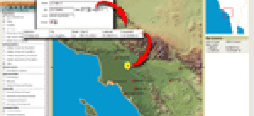
Questerra Corp. of Charlottesville, Va., offers a Web-based spatial information system, which can be shared across a variety of platforms and accessed simultaneously by a large number of users.